Tu sei qui
LAB_6, 1_ES
(Chiedo scusa per la qualita di immagini, mentre uso Vasari non riesco a fare screenshots ed ho dovuto a fare le foto con il cell allo schermo del pc,
inoltre ho avuto problemi cercando di salvare viste 3d, spero di riuscire a sistemare la esercitazione cosi come si deve prima possibile)
The excersice is going to be done in 2 steps.
STEP A
CREATING A 3D MODEL in Autodesk Project Vasari - beta2
1.Opening a new file and changing the units to metric system Manage -> Project Units
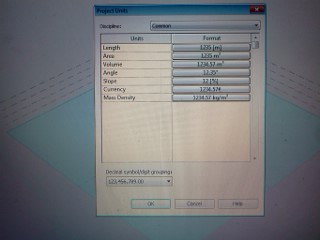
2.Downloading a Google view image of the area where i live Analyze -> Location ->Via eugenio barsanti 9, Rome Italy
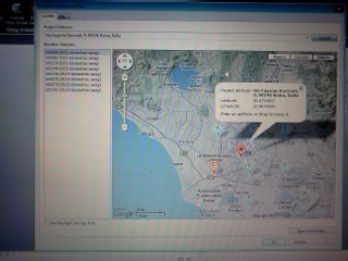
3. Inserting the found area view and locking the image with a pin command
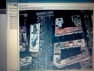
4. Creating masses of the buildings that surround my living place : Model -> Create Mass -> Line (with a line tool creating buildings boundaries as seen on google view image)
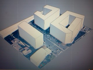
5. Turning on the shadows; turning on and adjusting sun path mode.
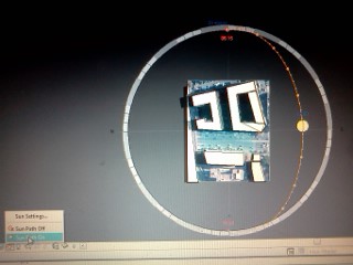
STEP B
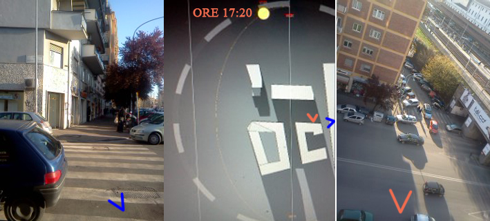
COMPARING IMAGES FROM VASARI WITH PICTURES TAKEN WITH PHOTOCAMERA DURING THE DAY
