Inviato da Francisca Aldunate il Gio, 05/04/2012 - 23:44
One of Autodesk’s newest programs, Vasari, has a wide variety of tools which may help to analyze a great range of conditions that should be considered while thinking in a project.
In this case, I have performed a Sun path analysis in one of Rome’s south east zone; an area between Via Tuscolano, Via Gela, Via Apia Nuova and Via Veturia. With this particular tool you’re able to compare the inclination and position of the sun through the year and clearly see its effect on the model you’re creating: for example the shadows projected by and to your project.
In the images below there is an obvious difference between the situation of sunlight during winter and summer: this is due to the fact that the sun path has a different inclination, that’s one of the reasons why at the same time of day in different months there is more or less sunlight and how this directly affects the size of the shadows projected.
The final picture shows the actual situation of one of the buildings of the area, if we compare it to what the program showed we can say that’s truthful, considering the photograph was taken in March which would be an intermediate situation of the results of the images of the model because it considers dates for January and July.
Inviato da Cecilia Rosa il Gio, 05/04/2012 - 23:00
STEP ONE:
Analyze > Location > put the address of the area > Import image
STEP TWO:
Model > Create Mass with a Model Line command > change of lenght and height on the side of solid
STEP THREE:
Sun Path on > Shadows on > Sun Settings... > change of options to see the light's settings
STEP FOUR:
Manage > Project Units > choice of units
Inviato da Micol Pucciarelli il Gio, 05/04/2012 - 22:50
1° step I've imported the site image of the location I've choosen.
2° step I've changed project units from feets to meters.
3° step To create a mass I've drawn rectangular surfaces through lines. Then I've created the elements selecting lines or geometryes.
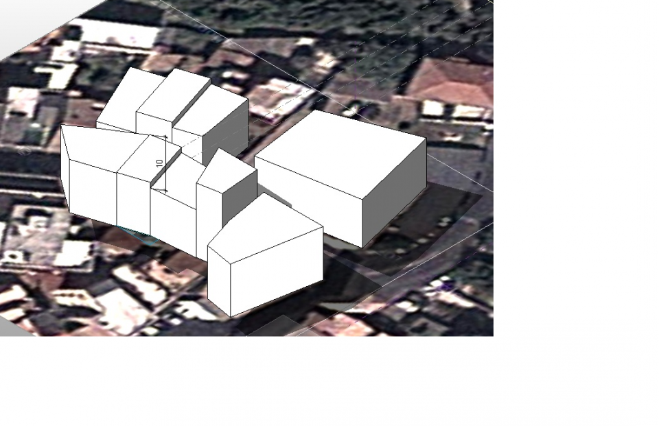
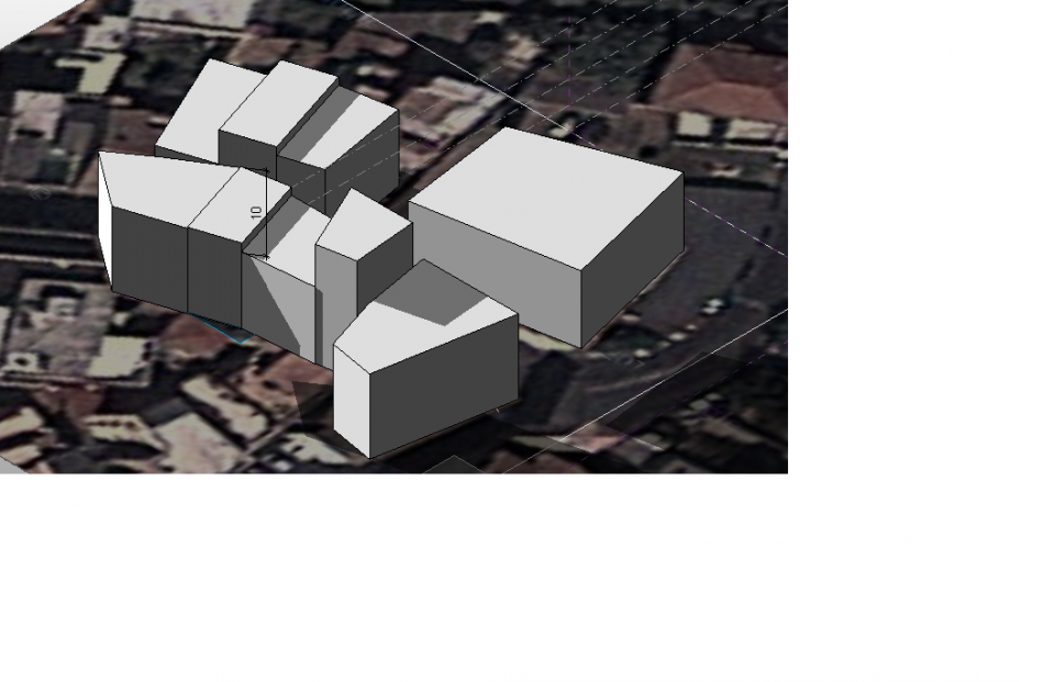
Inviato da Serena Bruno Gallo il Gio, 05/04/2012 - 22:32
Per prima cosa ho importato la planimetria dell'area in cui si trova casa mia, poi ho realizzato i volumi semplici dei palazzi.
Inviato da Giorgia Izzi il Gio, 05/04/2012 - 21:40
Nella prima foto del giorno 04/04/2012 delle ore:12.00
Nella seconda foto del giorno 04/04/2012 delle ore 16.30
Per prima cosa ho inserito la planimetria, di via Paolina in Velletri,
dopodiché ho estruso gli edifici, secondo le loro varie altezze.
Pagine