Inviato da DarioMartinelli il Dom, 16/03/2014 - 17:41
L'edificio analizzato si trova a Villa Adriana (Tivoli), a circa 30km da Roma; questo fa parte di un complesso di 14 edifici, tutti sviluppati su 5 piani.
L'appartamento preso in considerazione si trova al 3°piano di uno di questi fabbricati, e si affaccia esclusivamente sui lati SUD/SUD-OVEST; l'appartamento è quindi esposto per gran parte della giornata ai raggi diretti del sole, ma come analizzato in seguito, risulta parzialmente schermato dai fabbricati limitrofi e dalle alberature circostanti.
Inviato da MartinaPieri il Dom, 16/03/2014 - 16:45
My flat is located in Via di monteverde, quartiere monteverde, Rome. It's at the basement of a six floors building and it has a garden and it's under the road surface. Being at the basement and be surrounded on two sides by other building and on one side by a high wall that reaches the road surface, the apartment does not receive excessive daytime illumination and this has advantages and disadvantages.
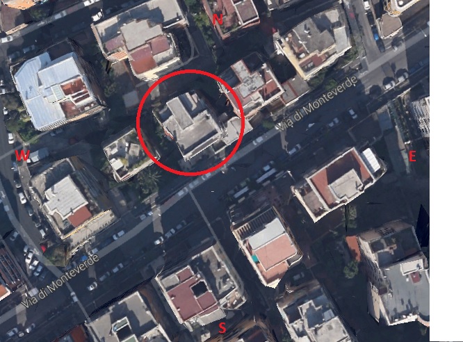
Img.1 Maps and flat location
Inviato da ant.scirocchi il Dom, 16/03/2014 - 15:43
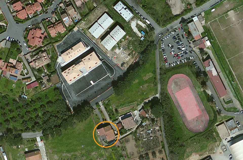
My house is located in Anguillara Sabazia, in the north of Rome, and the building isn’t near other buildings but it’s isolated in open countryside.
Inviato da Antonino Zappulla il Dom, 16/03/2014 - 15:16
Analysis of the shadows.
In this post I will show how to do a simple solar analysis.It's better divided the process into several points:
1. Open a new project from the first display of Vasari;
2. First of all you need to change some parameters in order to not have problems in the future analysis:
2.a You need to change the view, from a perspective one to a Defaul 3D view;
Inviato da GiuliaGentile il Dom, 16/03/2014 - 13:32
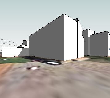
After opening “vasari” i clicked “project units” from “manage” menu and i changed the settings about the metric units, sub-sequently, after creating an “autodesk” account, i clicked “location” for the “analyze” menu to visualize the area of study. After locating the area using Google Earth i clicked “import site image” to visualize this image for google maps on the vasari’s screen.
Pagine